

GeographyIntermediate
The Weirdest Borders on the Map
Enclaves, exclaves, and straight lines: explore the world's most bizarre geopolitical boundaries.
Take the challenge →Travel across continents, landscapes, cultures and remarkable places.
Geography studies places and the relationships that give them meaning. Knowing where a river, city or country is located provides a starting point, but geographers also ask why it is there, how it connects with other places and how it changes over time. Physical geography examines landforms, weather, water and ecosystems. Human geography considers population, culture, settlement, economies and political organization. These branches overlap because people live within physical environments and continually reshape them through agriculture, construction, movement and decisions about resources.
A geographic perspective moves between scales. A neighbourhood transport decision can affect access to work, while regional migration can reshape cities and national policy. A mountain range may influence rainfall locally and guide trade routes across a continent. Scale also changes what a pattern looks like: a densely populated country can contain sparsely settled regions, and a wet climate can include recurring drought. Strong geographic explanations therefore specify location, scale and time instead of treating broad labels as complete answers.
Maps are selective representations, not miniature copies of reality. A cartographer chooses which features to include, how to symbolize them and what projection will transform Earth’s curved surface onto a flat display. Every projection preserves some properties while distorting others. A map designed for navigation may prioritize direction, while an equal-area map better supports comparisons of size. Readers should inspect the title, legend, scale, date, source and projection before drawing conclusions from the pattern shown.
Digital maps can combine satellite positioning, geographic information systems and continuously updated databases. They help people find routes, examine terrain and compare layers such as population or rainfall. Their apparent precision can hide uncertainty, missing records or choices made during classification. A boundary may be disputed, a place name may have alternatives and a colour scale can exaggerate small differences. Geographic literacy includes asking who produced a map, what question it serves and which people or features might be absent from it.
Landscapes are shaped by processes operating above and below Earth’s surface. Tectonic plates move slowly, creating mountain belts, rift valleys, earthquakes and volcanic regions at many of their boundaries. Rock is exposed to physical and chemical weathering, broken material is carried by water, wind or ice, and sediment is deposited when transport loses energy. Rivers carve valleys and build floodplains, glaciers reshape high-latitude and mountain terrain, and waves continually reorganize many coastlines.
A landform is rarely the result of one event. Its present shape may record ancient geology, changing climate, vegetation, sea-level movement and human engineering. Flood defenses can protect one area while altering flow elsewhere. Removing vegetation may increase erosion, while dams trap sediment that would otherwise replenish downstream land. Geography encourages learners to trace these connections. When a quiz asks about a desert, delta or mountain, the useful next question is which interacting processes created it and whether those processes remain active today.
Weather describes atmospheric conditions over short periods; climate describes longer-term patterns, variability and extremes. Unequal solar heating, Earth’s rotation, atmospheric circulation, oceans and topography influence both. Air rising over mountains cools and can release precipitation on the windward side, while descending air may create a drier rain shadow. Coastal areas often experience different temperature ranges from continental interiors because water heats and cools more slowly than land. Latitude matters, but it never acts alone.
Water links atmosphere, land, oceans and living systems. Evaporation, condensation, precipitation, infiltration, storage and runoff form a cycle powered largely by solar energy and gravity. The amount of water available to communities depends on season, geology, infrastructure, quality and demand—not simply annual rainfall. Climate change can shift averages as well as the probability of extremes, while urban surfaces can intensify runoff and heat. Geographic study compares these patterns across places and examines how societies adapt to risk.
Population is unevenly distributed because opportunities and constraints differ across environments and historical periods. Access to water, fertile land, transport, employment and political stability can influence settlement, but no single factor explains every city or migration stream. Demographers examine births, deaths, age structures and movement to understand how populations change. A population pyramid can reveal past events and possible future needs, yet projections depend on assumptions that should be stated rather than treated as guaranteed outcomes.
Migration can be temporary or permanent, voluntary or forced, internal or international. People often move for several connected reasons, including work, education, family, safety and environmental pressure. Describing migrants only through a push-and-pull diagram can miss networks, laws and individual choices. Urbanization likewise creates both opportunity and challenge. Dense settlement can support efficient services and innovation, but rapid growth without adequate housing, transport or sanitation can deepen inequality. Geography examines who gains access and who carries costs.
Places acquire meaning through language, memory, religion, food, architecture and everyday practice. Cultural regions do not always match political borders, and cultures are not frozen collections of traditions. Trade, migration, media and local creativity continually produce exchange and change. Responsible geographic learning avoids presenting an entire country or continent as if everyone shares one identity. It uses specific examples, recognizes variation within groups and distinguishes a government, a territory and the diverse people living there.
Economic geography traces where goods are produced, how services are organized and why networks connect distant places. A product may link raw materials, factories, ports, data systems, workers and consumers across several countries. Political geography examines states, boundaries, territories and power at different scales. Borders can organize administration while also separating communities or ecosystems. Current names, statistics and political status may change, so time-sensitive quiz material requires dates and authoritative sources. Clear context prevents a memorized answer from becoming misleading.
No place is completely isolated. Rivers cross borders, air pollution travels, supply chains link workers with distant consumers and communication networks compress the practical meaning of distance. A disruption in one transport corridor can affect prices elsewhere, while decisions about forests or energy can influence regional and global systems. Geography makes these connections visible by following flows of people, material, money, information and environmental effects. It also asks how those flows are controlled and experienced unevenly.
Sustainability questions show why geographic scale matters. A locally efficient choice can shift environmental costs to another region, and a national average can hide vulnerable communities. Managing hazards requires understanding both a physical event and exposure: an earthquake becomes a disaster through its interaction with buildings, preparedness and inequality. Similar storms can produce different outcomes in different places. Comparing cases is valuable when the comparison respects their contexts rather than assuming that one solution can be copied without adaptation.
Start by locating the subject, then build outward. If a question names a river, mountain or city, place it within a country, region and larger system. Use direction, distance and neighbouring features instead of memorizing an isolated dot. After answering, read the explanation and ask whether the fact is stable or time-sensitive. Capitals and boundaries may require current verification, while geological relationships are usually more durable. Follow a related guide when the process behind the location deserves a fuller explanation.
Retrieval practice works well with blank maps, comparison tables and short verbal explanations. Try drawing a rough map from memory, then correct it using a reliable atlas. Compare two places using the same categories—climate, terrain, population and connections—without assuming they should produce identical outcomes. Revisit questions after a delay and explain why the correct option fits. This arena aims to replace disconnected place-name trivia with a richer understanding of patterns, processes and interdependence across Earth.
Enclaves, exclaves, and straight lines: explore the world's most bizarre geopolitical boundaries.
Take the challenge →Explore massive cave systems, ancient catacombs, and the dark wonders beneath the Earth's surface.
Take the challenge →Uncover the hidden rooms, secret histories, and untold stories behind the world's most famous monuments.
Take the challenge →Discover how life evolves in total isolation, from giant tortoises to flightless birds.
Take the challenge →Test your knowledge of tornadoes, hurricanes, and the wild forces of our atmosphere.
Take the challenge →From endless sand dunes to frozen wastelands, test your knowledge of extreme environments.
Take the challenge →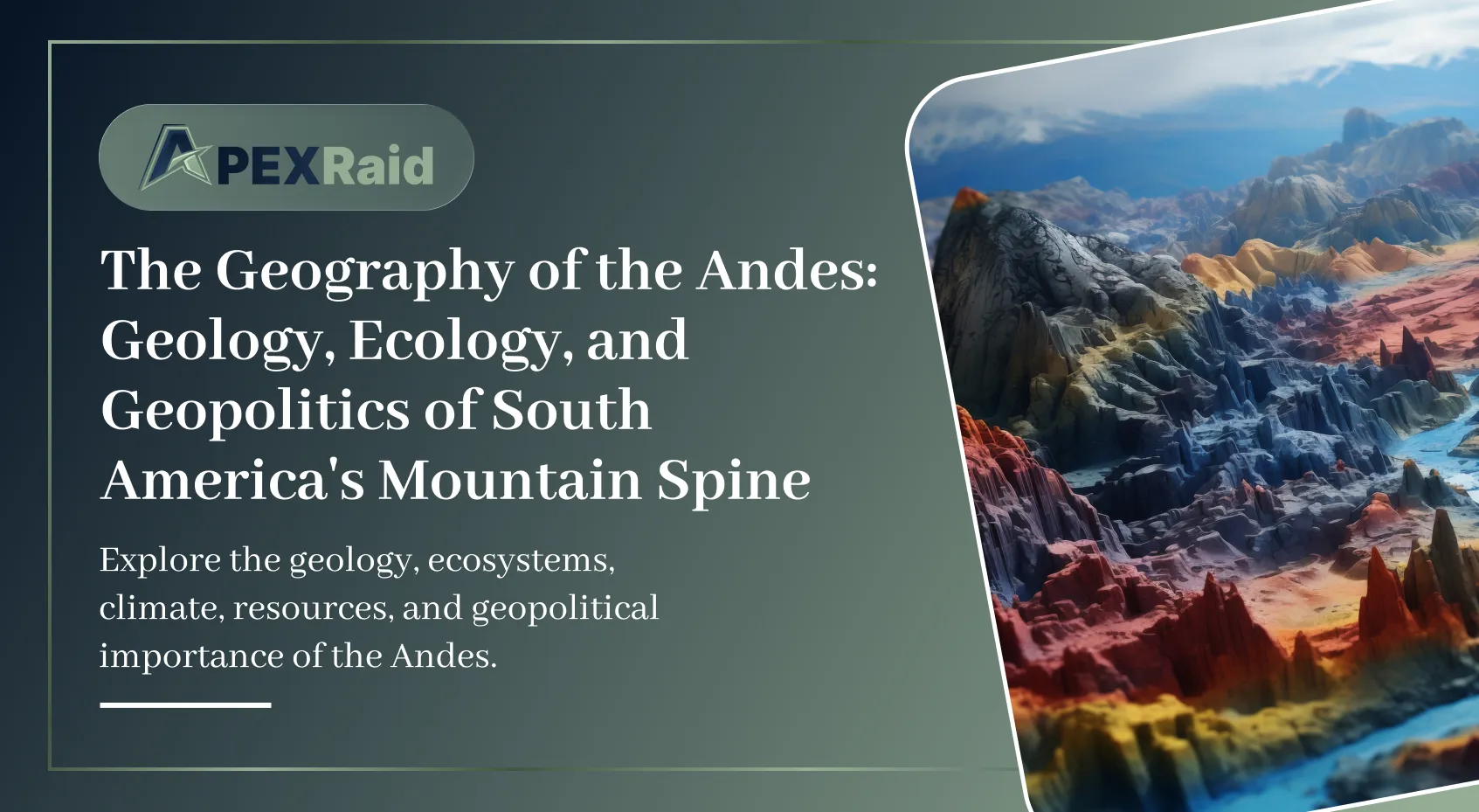
A comprehensive analysis of the world's longest continental mountain range: its tectonic formation, diverse ecological zones, critical role in the hydrological cycle, and geopolitical significance in the age of climate change and resource competition.
Read article →
A comprehensive analysis of how rising global temperatures are fundamentally altering the physical maps, coastlines, agricultural zones, and geopolitical boundaries of the planet — drawing on the latest IPCC research and scientific evidence.
Read article →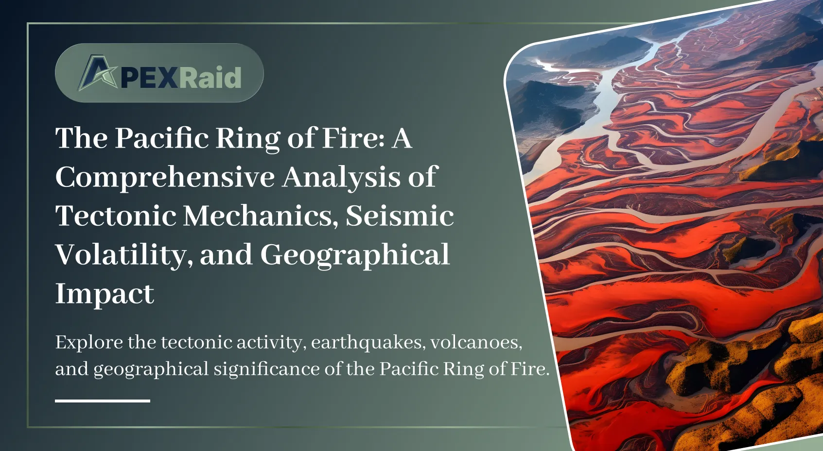
A comprehensive analysis of the Pacific Ring of Fire: exploring its tectonic mechanics, subduction zones, megathrust earthquakes, volcanic arcs, human geography, and the geological processes that make it the most seismically volatile region on Earth.
Read article →